This user’s manual describes the functions of the browser-based KeyCom network information system. KeyCom is intended as a tool for telecommunications operators for network information management and network planning and maintenance. KeyCom creates consistent documentation of a network’s structure and connections. Having exact information on the structure and use of your network enables you to operate the network efficiently.
The first part of this user’s manual introduces general tools and buttons, and the rest of this document provides instructions on using various object forms. The forms are used to view, create, and modify network object information with the help of buttons that have the same functions throughout all object forms. Before reading the instructions on a single object form, we recommend that you read the chapter Buttons on objects forms. The tools introduced in this chapter are related to viewing the properties and location information of objects, and they are similar to the tools used in Keypro’s other browser software. This chapter describes button functions on a detailed level. The instructions on using the object forms have been created based on the assumption that users are familiar with the various button functions.
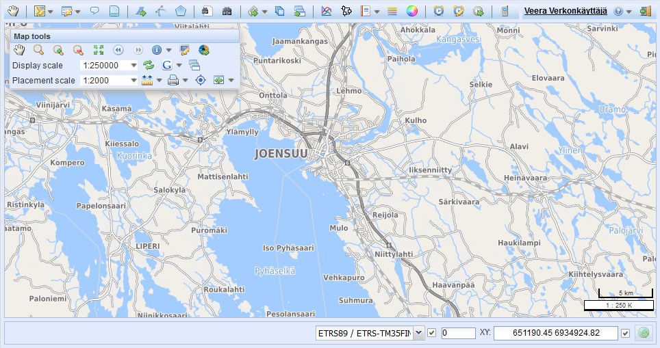
The Map view chapter discusses the tools related to using the map view. Tools are located in a separate tool bar called Map tools and are used for measuring distances, changing the scale, and printing and viewing information related to map objects. The chapter Map view discusses the following: selecting background maps and object layers, using the map and addresses, and using the coordinate section to change positioning. This chapter is primarily aimed at users who have no previous experience of using map user interfaces. The tools presented in this chapter are commonly used in various types of map software.
The chapter KeyCom forms discusses using the object forms for network elements, such as telecom premises and cables. This chapter also describes connections management, the route follower, and the creation of service and exchange areas. It is assumed that users are familiar with the use of the general object form buttons. The KeyCom forms are used in a similar manner, and any deviating functions are presented separately for each object form.
The chapter KeyNet tools introduces the tools for managing telecommunication network connections, customer data, and rental contracts.
The chapter Other tools covers all other tools provided by the software. This chapter is aimed at all users and describes topics, such as the creation of plans and annotations, address search, survey management and creation of group displays.
Software overview
KeyCom is used via an internet browser, and users are not required to install any other software on their workstations. The network data that is used is stored on a network server in an Oracle database from where the browser receives the data.
You can handle the network data through object-specific forms for various types of network objects. For example, if you want to modify information concerning a splice, open the Splice object form. If you want to create a new cable in the system, use the functions on the Cable object form. In other words, you use object forms to view, create and update information on properties and location. You can save information on the structure of a network, such as network topology and information on the objects’ properties, including the installation year and usage state. Your user privileges define what functions are available to you.
3D compatibility
KeyCom 2024.3 includes a 3D-compatible database as a default, and it enables basic 3D functions through the user interface. In addition to X and Y coordinates, you can also use the elevation coordinate Z. Please note that addresses, print series, and diagrams are still saved in 2D format.
User interface
The user interface has three main areas. The toolbar is displayed at the top of the screen, and you can use it to open object forms to view and edit objects. In addition, this toolbar includes other buttons that enable you, for example, to search for addresses or create lines and text on the map.
The largest component in the display is the map view, which also includes the map toolbar used for map management and the Layers tool.
A coordinate section displaying coordinate values is located at the bottom of the screen. In addition, instructions are displayed in the bottom left corner of the instructions bar when the available buttons and tools are used. You can find further information on these in the chapter Map view and in subsequent chapters.
Note! If the border of the user interface is exceptionally bright, you have most likely logged in to the test environment.
Hardware requirements
You use KeyCom via your web browser, so the minimum requirements and recommended equipment greatly depend on the browser you use:
- Browser: Microsoft Edge or Google Chrome with the latest updates. Firefox is also supported but require the fastest possible CPU (i7, i9). You must also enable cookies in the browser.
- Operating system: Should be in accordance with the browser’s requirements. Keypro Oy tests the system functionalities with Windows-based equipment. Linux Ubuntu 18 or newer is recommended.
- Processor: The minimum CPU is Intel Core i3. Intel Core i5 or i7 are recommended (or some equivalent from the AMD).
- Display: Minimum resolution of 1366 x 768 pixels (1920 x 1080 pixels recommended).
- RAM: Minimum 8 GB (16 GB recommended, with browser requirements considered).
User roles
Users are assigned a role in the system, and the user privileges specified for that role define the functions that are available to the user; in other words, they define the actions that the user can take within the program. Read-only users can view both the properties and location information of objects, but they cannot edit or add objects in the system. The buttons required for these functions are not even visible to users with read-only rights. If a user has read and write rights to properties or location information, the related buttons are visible. In addition to the above, an Admin user can, for example, modify default values.
The system also allows the definition of so-called area-specific user privileges that provide users with the right to view and handle objects within a certain area only. Limitations can also be set based on, for example, the owners of objects.