You can measure distances using the Distance measure tool. Click Distance and position the mouse pointer over the starting point on the map to start measuring. Click the left mouse button and move your pointer on the map. Enter points by clicking the left mouse button. Distance is displayed in the bottom left corner of the screen. The distance information is updated after adding each point. End the measuring by first clicking the left mouse button and then the right mouse button. Check the total distance.
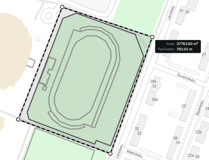
Measure the area size and perimeter by selecting Area size and perimeter on the Distance drop-down menu. Add points on the map to view the area and perimeter information for the polygon formed by the points and the mouse pointer. This area information is displayed in the bottom left corner of the screen. Stop drawing by clicking the right mouse button, and check the complete area size and perimeter information. Click the left mouse button or Pan hand in Map tools to start a new measurement.